Critical infrastructure

Inspect public assets that cannot be taken offline.

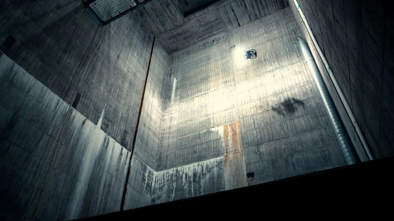
Tunnels carry traffic. Reservoirs feed cities. Dams hold the line. Sewers run twenty-four hours. Scout 137 flies the inspections that traditionally need closures, dewatering or rope teams, and leaves the asset in service while the data lands in the integrity record.

Tunnels (road, rail, utility)

Lining condition, joint mapping, ventilation duct integrity and cross-passage condition recorded between revenue services or in single-tube closures.

Reservoirs & water treatment

Drained service reservoirs, clarifier basins and inlet works. Concrete spalling, coating breakdown and roof condition captured without crew entry.

Dams & spillways

Dam face, spillway chutes, stilling basins and outlet works. Survey-grade point cloud for the dam-safety dossier and the inspector.

Sewers & wastewater

Trunk sewers, interceptors and combined-sewer overflows. Defect mapping, atmosphere check and 3D point cloud without confined-space entry.

The backlog is real. The closure window is not.

Closures cost the public. Confined-space entries cost the inspector. Rejected reports cost the asset owner twice. Scout 137 attacks all three lines.

Stay open

The asset keeps carrying traffic, water or flow while the drone inspects.

Days → hours

A closure window the operator can actually grant, instead of days offline.

Zero

Confined-space entries when the drone records the evidence first.

One pass

Visual, gas and 3D in a single flight, every defect tagged to chainage.

See. Measure. Locate. Inside the asset, between revenue hours.

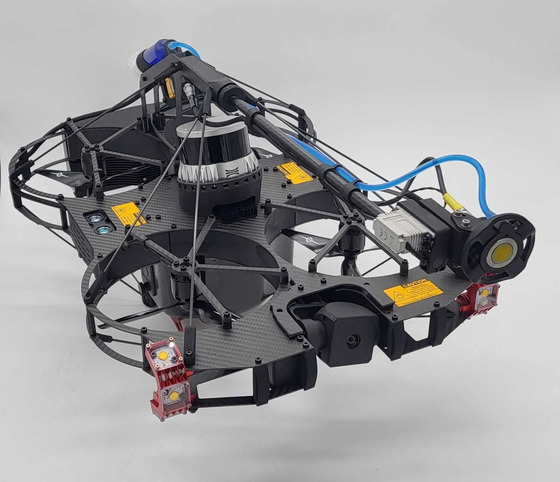
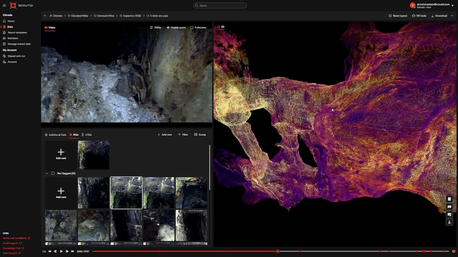
Three capture streams from one tethered drone, flown in the closure window the operator can actually grant. Scout Portal merges the streams into a single report for the asset register.

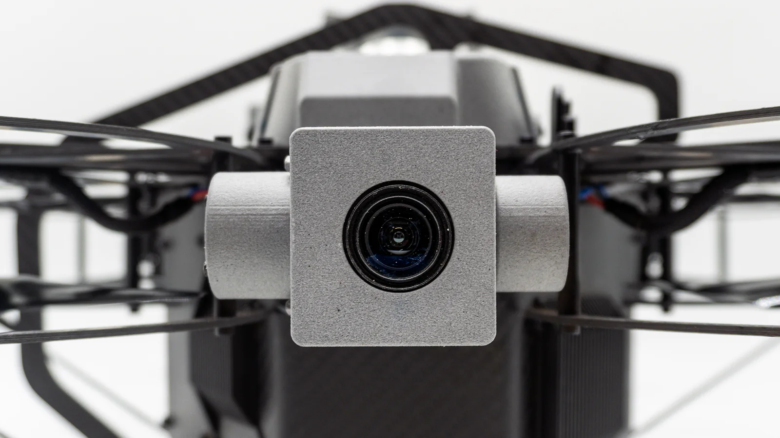
4K Zoom Camera

Concrete cracking, lining defects, water ingress and coating breakdown recorded at survey resolution. The asset engineer sees what the inspector saw.

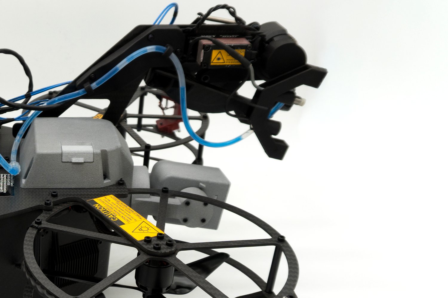
Ultrasonic Testing

Live UT with built-in surface brush and couplant deployment: the flagship measurement payload, replacing rope access and scaffolding with readings on first contact.

3D LiDAR

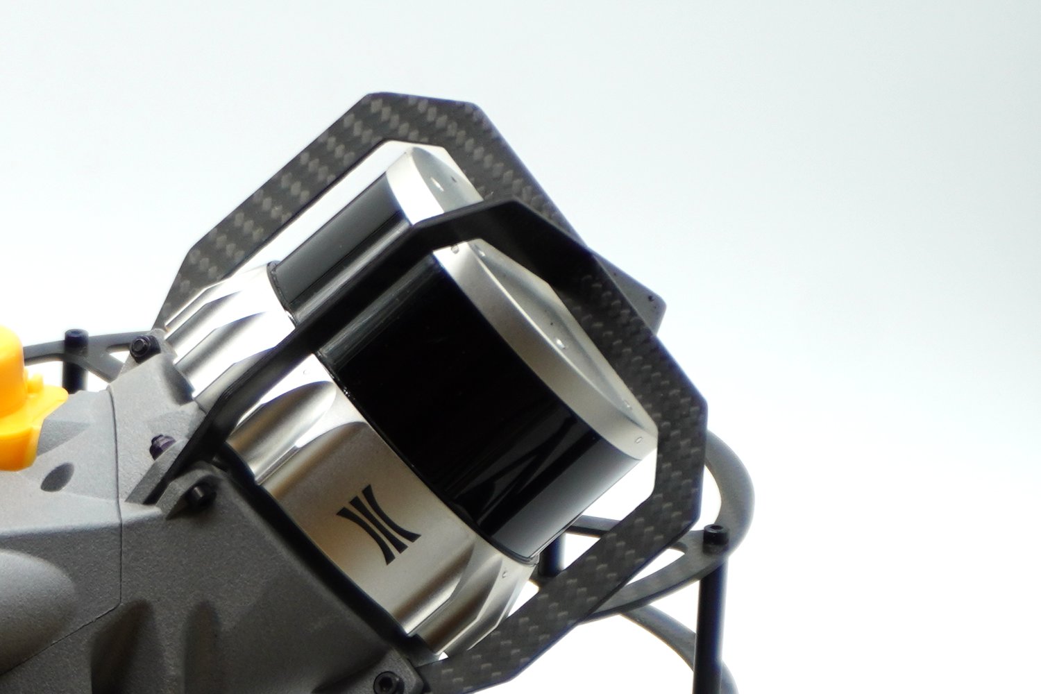
Survey-grade point cloud of tunnel bore, reservoir interior or spillway face. Every defect tagged to chainage and exported to the asset register.

Evidence that the dam-safety inspector and the utility regulator can rely on.

Every capture is time-stamped and geo-anchored to the asset 3D model, assembled in Scout Portal into one complete, repeatable record your asset register already uses, with every defect tagged to chainage. It gives you data suitable for dam-safety, tunnel and sewer-condition review (FERC, ICOLD, EN 13508).

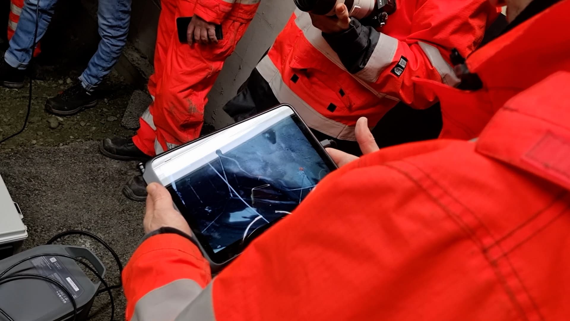
A stormwater overflow pipeline, flown end to end.

“By obtaining precise measurements from the drone, we know exactly how much space we have to work with and can accurately calculate how much rock needs to be removed in areas where there isn’t enough room for reinforcement today.”

Johnny Skår Statens Vegvesen (Norwegian Public Roads Administration)

Close the backlog without closing the asset

Request a Proof of Concept
Back to top