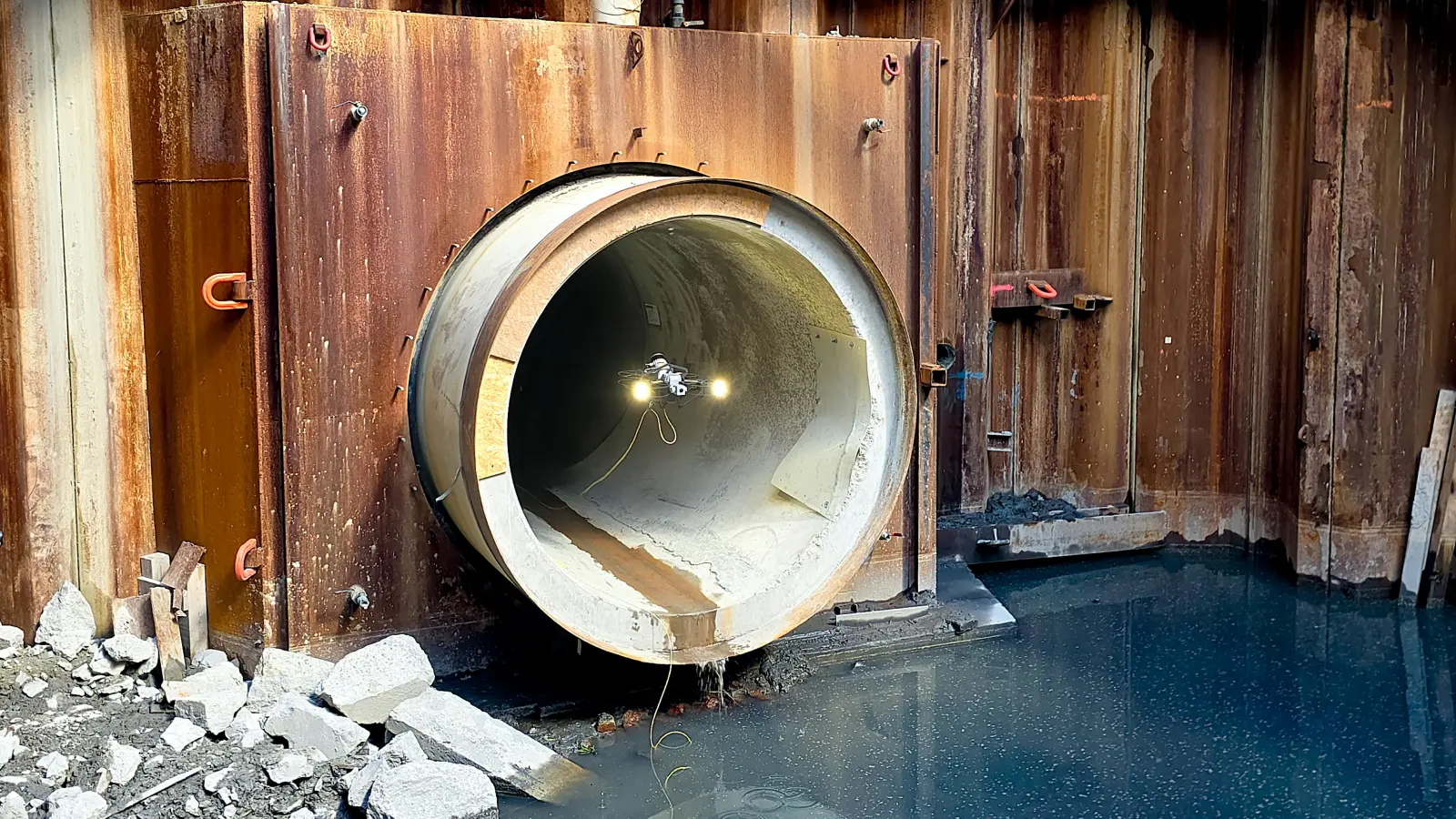
Mining & underground

Survey shafts, stopes and ventilation raises, without putting a crew under the brow.

Active workings change every shift. Rockfall is the largest fatality cause in hard-rock mining. Scout 137 flies open stopes, blind raises and post-blast headings so the surveyor stays out of the line of fire and the production schedule keeps moving.

Active shafts & raises

Production shafts, service shafts and access raises. Lining condition, set spacing and steel guides surveyed without shaft-sinking crew exposure.

Open stopes & draw points

Cavity monitoring after blast, dilution mapping and hangingwall stability. Survey-grade point cloud captured from a safe stand-off in the access drive.

Ventilation raises

Blind raises, ore passes and return airways. Cross-section profile, blockage check and lining condition without a crew rigging access from the top.

Tailings storage facilities

Decant towers, outlet works and underdrain galleries. Inspection-grade evidence for the TSF dossier without dewatering the impoundment.

Crew exposure is the cost no mine manager wants on the spreadsheet.

A drone in the heading after a blast is the difference between a production shift and a stand-down. Scout 137 turns post-blast re-entry from a wait into a workflow.

30%

Of underground hard-rock fatalities involve rockfall or ground failure.

5–7 days

Of manual ventilation survey on a mid-size operation each year.

60 min

Typical atmosphere clearance wait after blast before crews can re-enter.

8 hr+

Lost production per re-entry delay when an inspector can't get to the heading.

See. Measure. Locate. Before anyone walks in.

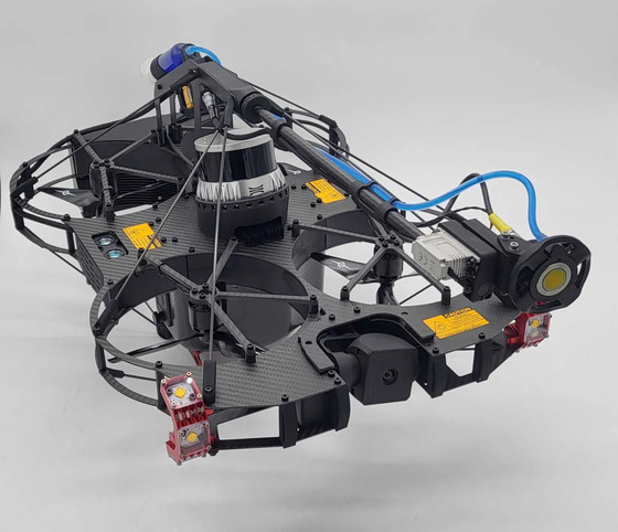
Three capture streams from one tethered drone, flown from a safe stand-off in the access drive. The production geologist, the ventilation engineer and the mine captain all get what they need from a single flight.

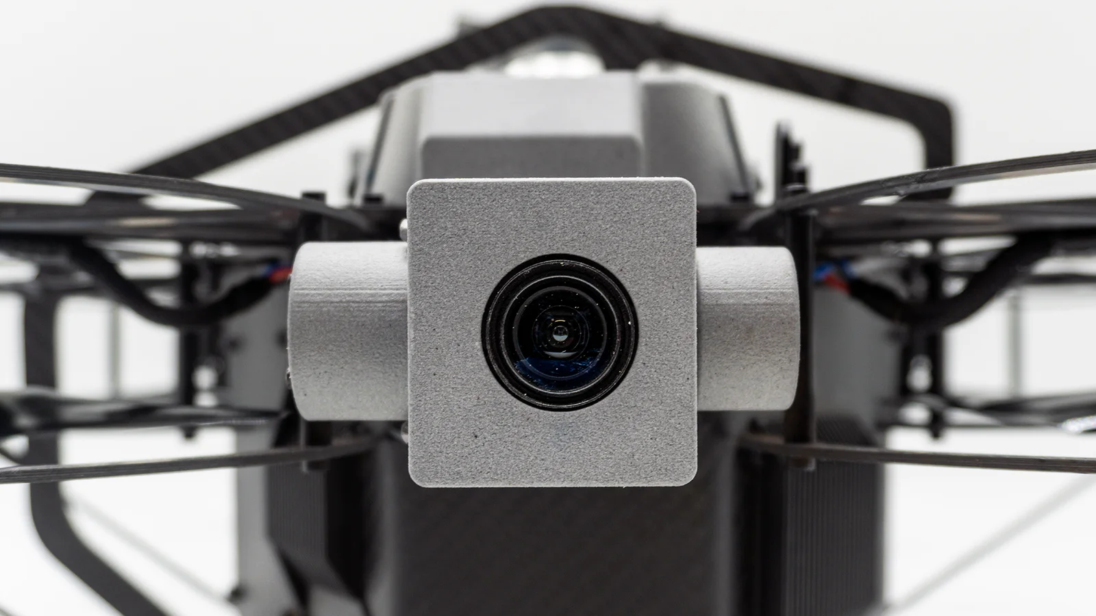
4K Zoom Camera

Hangingwall, brow and shaft-lining condition recorded at survey resolution. Geotechnical engineers review the rock from surface, not from the muck pile.

Ultrasonic Testing

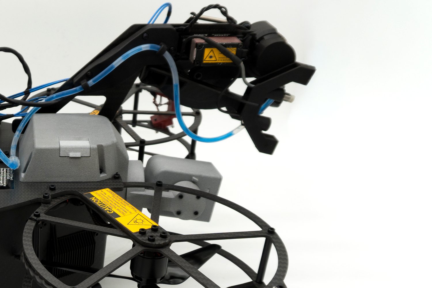
Live UT with built-in surface brush and couplant deployment: the flagship measurement payload, replacing rope access and scaffolding with readings on first contact.

3D LiDAR

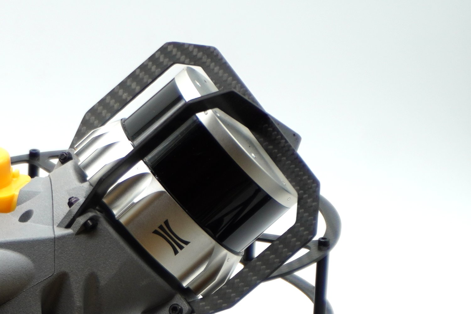
Know stope volume, dilution and overbreak in minutes: a cavity-monitoring survey without sending a CMS crew or waiting for re-entry. Point cloud anchored to the mine grid.

Evidence that the mine inspector and the TSF auditor can rely on.

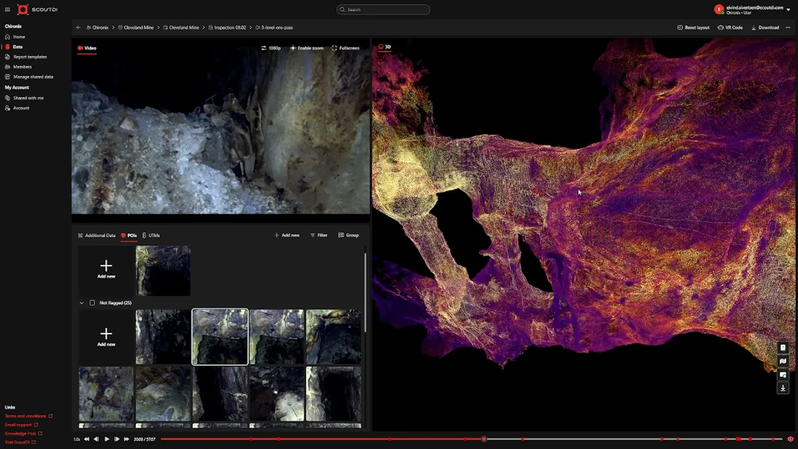
Every capture is time-stamped and geo-anchored to the mine 3D model, assembled in Scout Portal into one complete, repeatable record your survey department already uses. It gives you data suitable for ICMM, MSHA and GISTM/ANCOLD review.
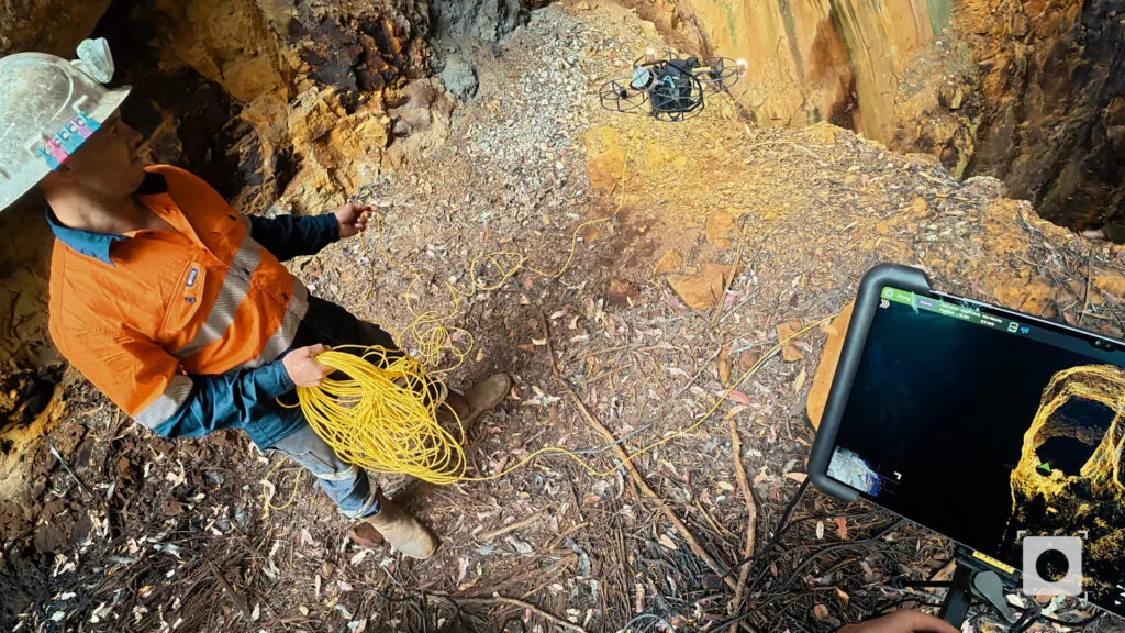
Roughly 2 million m³ of underground workings mapped in a few flights, with no human entry.

Field record Cleveland Tin Projects, Tasmania

Take the crew out of the heading. Keep the production schedule

Request a Proof of Concept
Back to top